TAIWAN Photo Gallery > Alishan Forest Railway (阿里山森林鐵路)
Alishan Forest Railway Photograph Gallery
Construction of the Alishan Forest Railway was commenced in 1899 by the Japanese. Intended to transport logs down the mountain, it has a 762mm gauge, a gradient of 6.25%, and a minimum turning radius of 40 meters. Traffic was opened on the 66.6-kilometer stretch between Chiayi and Erwanping in 1912, and was extended up Alishan to a full length of 71.4 kilometers in 1914. The railway climbs from 30 meters above sea level to 2,216 meters, has 49 tunnels and 77 bridges, and passes through a cross-section of climates and terrain types. From Chia-I, the railway travels along relatively flat terrain for 14.2 kilometers before beginning the long climb, corkscrewing around Mt. Duli, climbing 200 meters over a distance of five kilometers. The railway then travels on to Pingjena Station. From here it zigzags up the mountain, reversing direction at each new section of line as it gradually ascends Alishan.
Intended to transport logs and carry supplies, the railway has now become an integral part of the Alishan recreation facilities. After the Alishan Express was established in 1984 (requiring 3 hours and 15 minutes for the complete journey), some of the carriages of the original trains were converted into hotel accommodation. A number of locomotives are also on display at the Old Railway Display Area located near Jauping Railway Station.
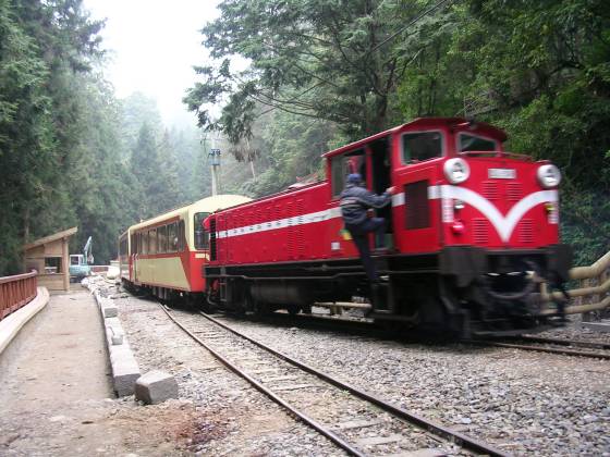
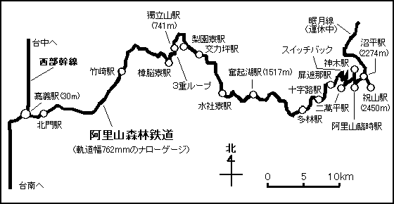

Map of Alishan Forest Railway

 Chiayi Station |
 Peimen Station |
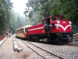 Sacred Tree Station Zigzag |
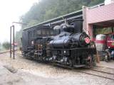 Alishan Station |
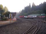 Jhaoping Station |
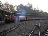 Jhushan Station |
Copyright © 2005-2026 Taiwaning. all rights reserved.